In a nutshell
- A glacier-capped volcano, black beaches and sea cliffs on the western tip of the Snæfellsnes peninsula, protected as a national park since 2001.[1]
- 136 km (85 mi) from Reykjavík, roughly a 2-hour drive via Route 1 and Route 54.[2]
- From Reykjavik: Snæfellsnes Peninsula Full-Day Tour, 11 hours, from US$145, rated 4.72 from 3,765 reviews.[3]
- Kirkjufell, 463 meters (1,519 feet) high and one of the most photographed mountains in Iceland.[4]
- The Arnarstapi to Hellnar coastal walk, a small easy trail from the Bardur statue, about 2 hours return.[5]
- Top choice Full-day coach tour from US$145 Duration11 hours[3]Rating4.72 from 3,765 reviews[3]Guide languageEnglish[3]StopsKirkjufell, Djúpalónssandur, Arnarstapi[3]CancellationCancel up to 24 hours in advance[3] Check availability
- Premium minibus from US$161 Duration11 hours[6]Rating4.77 from 789 reviews[6]Guide languageEnglish[6]StopsKirkjufell, Djúpalónssandur, Arnarstapi[6]CancellationCancel up to 24 hours in advance[6] See this tour
- Kirkjufell small group from US$138 Duration12 hours[7]Rating4.60 from 478 reviews[7]Guide languageEnglish[7]StopsKirkjufell, Djúpalónssandur, Arnarstapi[7]CancellationCancel up to 24 hours in advance[7] See this tour
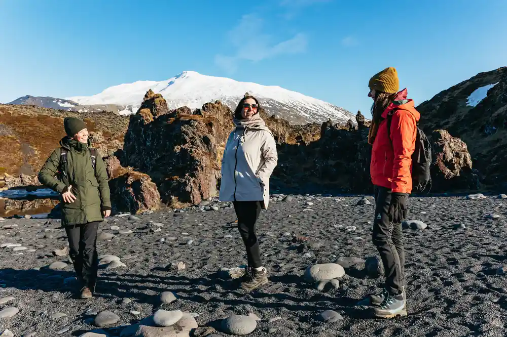
Snaefellsjokull is a 4,744-foot (1,446-meter) glacier-capped stratovolcano in West Iceland. It sits inside Snaefellsjokull National Park, established in 2001.
Is Snæfellsjökull National Park worth a day?
Getting there and around
- Guided coach and minibus tours run from Reykjavík out to the peninsula
- Allow a whole day for the loop if you start in the capital
- Reserve now and pay later is offered on the listed tours
- Free cancellation up to 24 hours in advance on this tour[3]
What to wear and bring
- A waterproof shell to cut the coastal wind
- Warm mid-layer and gloves, even in summer
- Grippy shoes for lava paths and pebble beaches
- Sunglasses and sunscreen for bright sea light
A Park Born from Volcanic Heritage
Snæfellsjökull National Park covers the western tip of the Snæfellsnes peninsula, a corner of Iceland where a glacier-capped volcano drops towards the North Atlantic. Inside its boundary you find sea cliffs, black pebble beaches, lava fields, mossy hills and small fishing villages, all within a short drive of each other. The glacier-capped volcano at its heart, Snæfellsjökull, is 1,446 meters high, and the national park was established in 2001.[1]
Getting there is one of the reasons the area works so well as a day out. The peninsula sits 136 km (85 mi) from Reykjavík, roughly a 2-hour drive via Route 1 and Route 54.[2] You can drive it yourself, following the coast road that loops around the park and its villages, or let someone else take the wheel while the lava fields slide past the window.
The Snæfellsjökull peninsula is small on a map, and it rewards a slow approach. The stops sit close together, and the day ends up being shaped by how long you linger rather than by how far you drive. Villages, beaches and cliffs follow one another in a way that feels like a summary of the whole country.
Snæfellsjökull: The Glacier Volcano
Snæfellsjökull is a stratovolcano with an ice cap on top, a cone of ancient lava flows that lifts out of the surrounding fields and glows white against the sky on a clear day. Jules Verne sent his explorers down its crater in Journey to the Centre of the Earth, and standing underneath it you can see why the mountain caught a novelist's imagination: it looks like a lid on something much larger.
Around the summit the ground is a mix of craters, lava tubes and rough mossy rock, and much of it sits within easy reach of the road. The guided Vatnshellir lava cave tour lasts 45 minutes.[8] It works as a wet-weather plan and a hot-day plan at the same time, since underground the temperature holds steady while the weather above does whatever it likes.
Snow can linger on the ice cap while the coast below is green, and that contrast of white ice, black lava and soft moss is the image that stays with you. Look for the mountain as you approach along the coast road: on a clear day it shows itself long before you reach the park boundary.
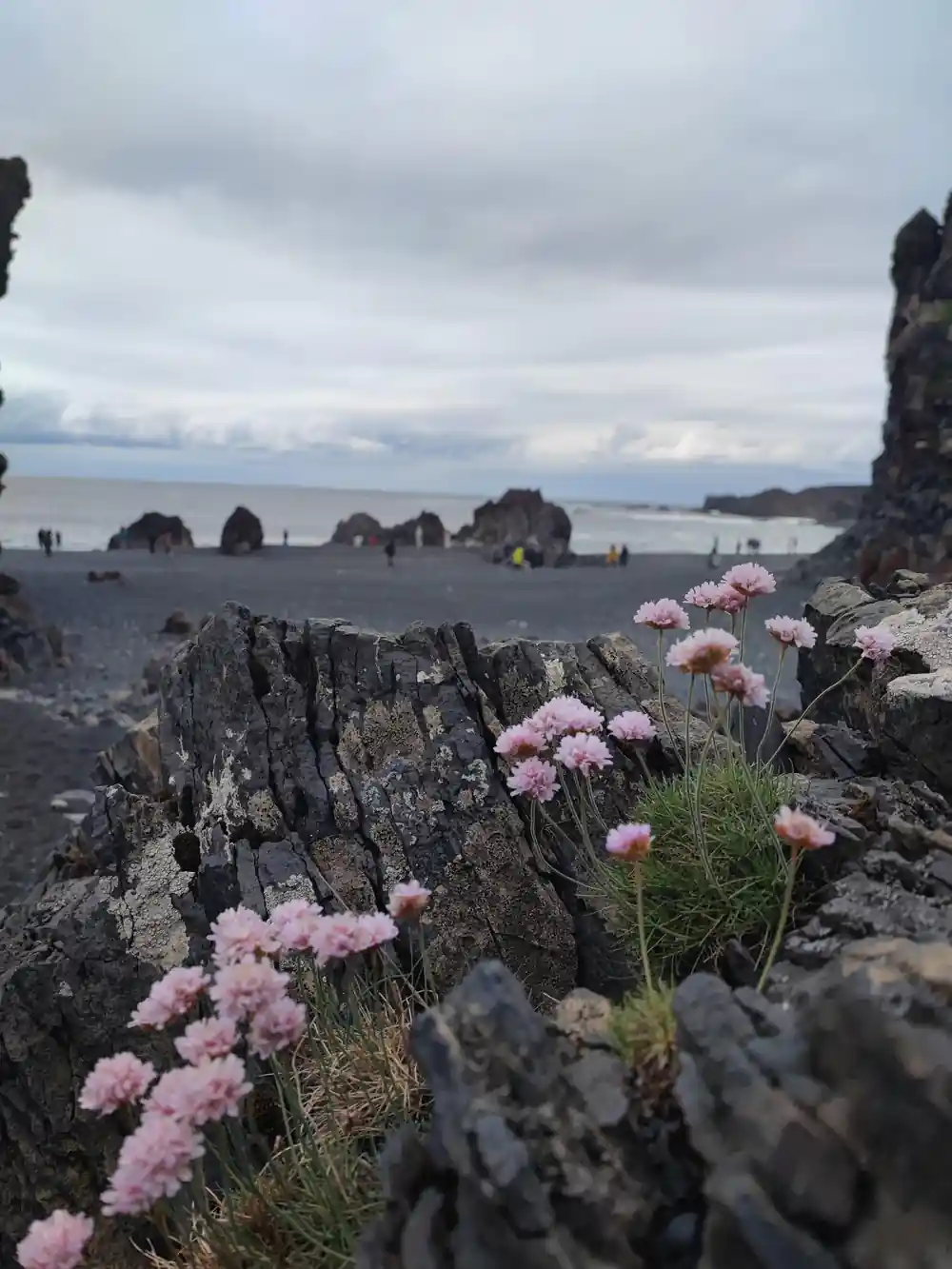
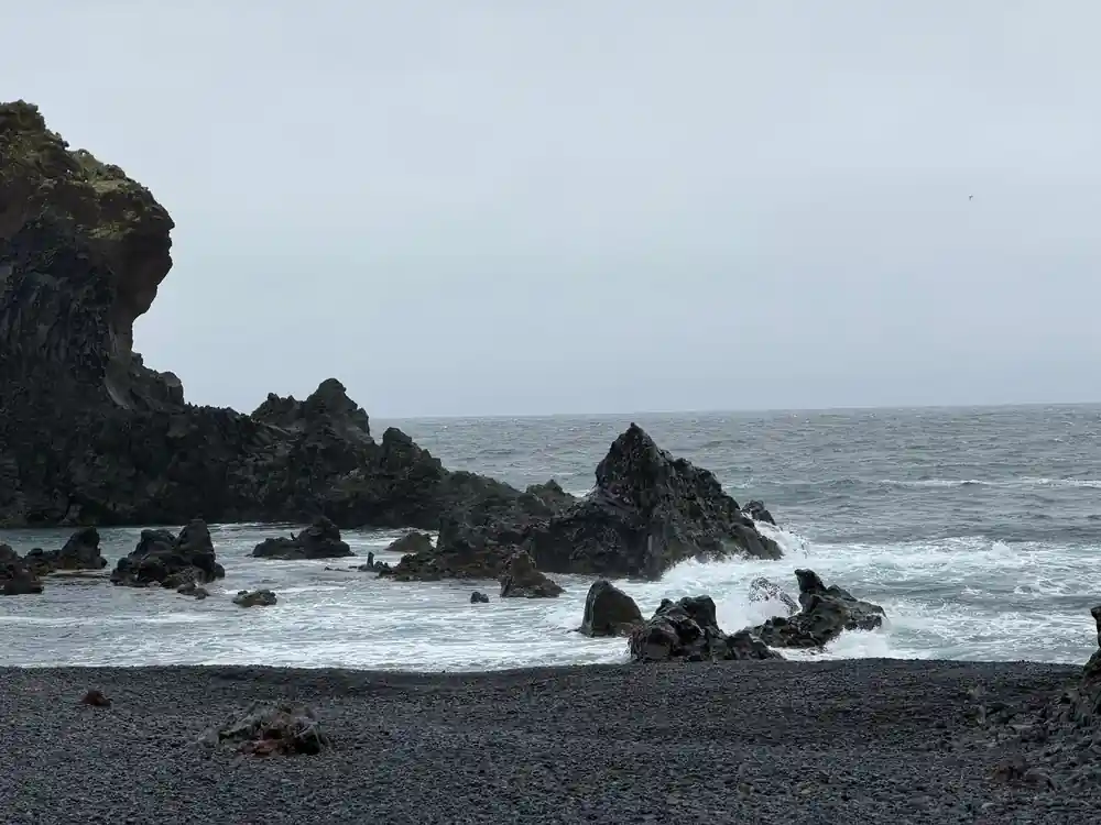
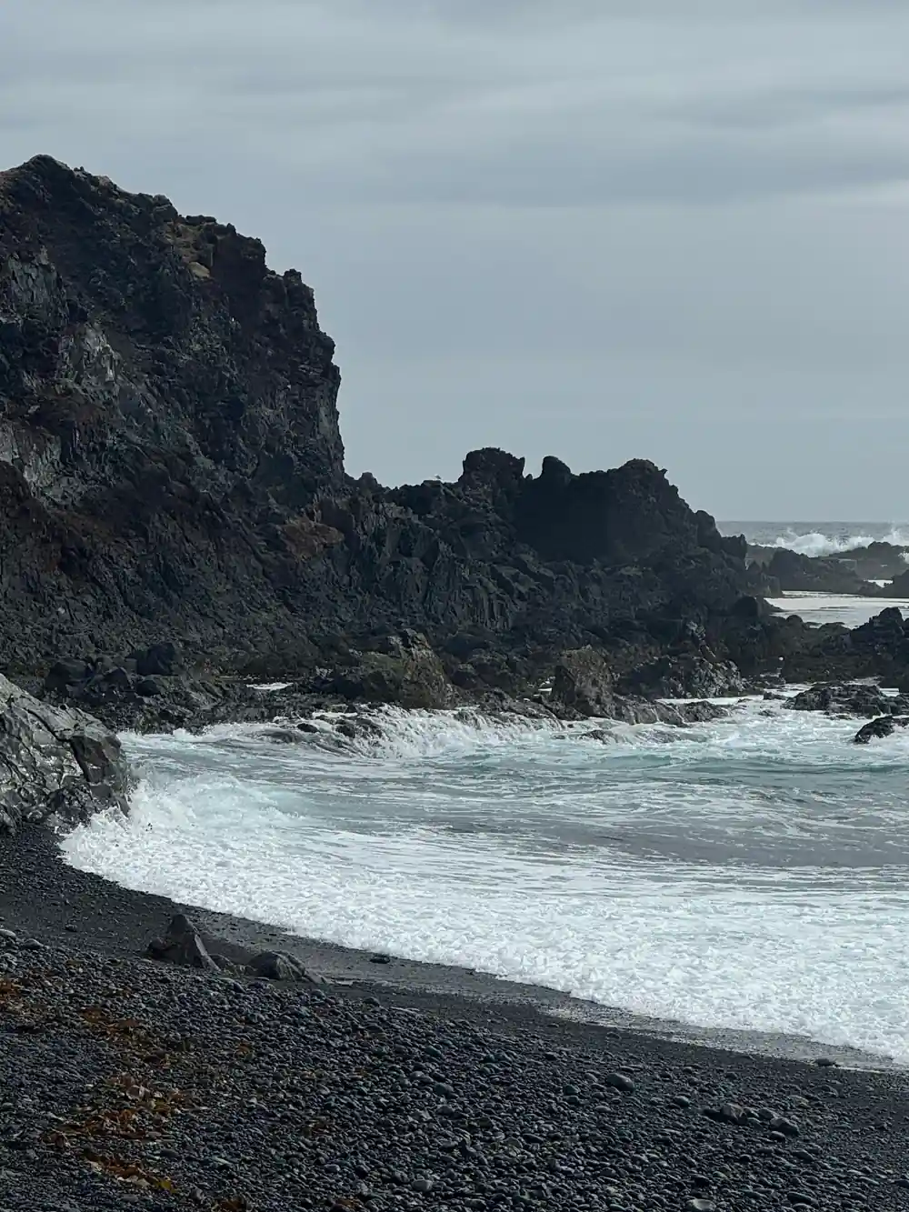
Black pebbles, sea stacks and surf below the glacier volcano.
Kirkjufell and Grundarfjörður
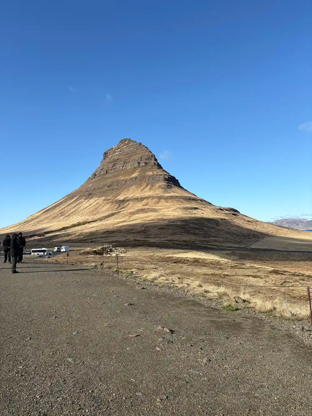
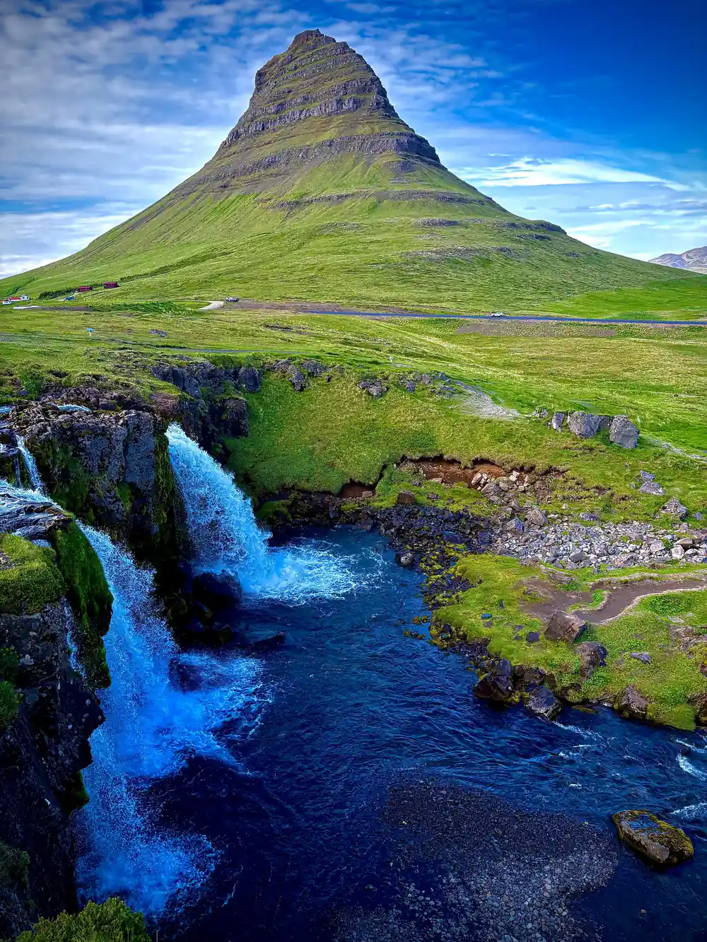
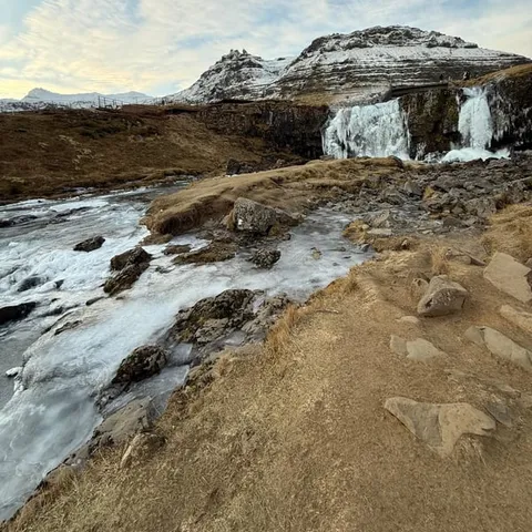
Grundarfjörður is the natural base on the north side of the peninsula, a small harbour town with a view straight at Kirkjufell. The mountain stands 463 meters (1,519 feet) high and is one of the most photographed mountains in Iceland.[4] If you keep a short Snæfellsjökull National Park must-see list, Kirkjufell, the cliffs at Londrangar, Djúpalónssandur, Búðir and Arnarstapi will all be on it.
There is more to do here than take pictures. Kayaking runs from Grundarfjörður itself, with the Mt. Kirkjufell Daytime Kayaking Adventure listed at 2 hours and from US$120.[9] Cruise passengers who dock at Grundarfjörður have their own option, listed at 5 hours from US$201 with a guide speaking English or Spanish.[10] If horses appeal more, Stóri-Kambur offers riding tours that take riders into the heart of Snæfellsnes in West Iceland.[11]
The town makes a good place to break the loop, fill a flask and eat something warm before the southern half of the peninsula. Views across the fjord change with the light, and the mountain goes from postcard to silhouette within an hour on an autumn afternoon.
Londrangar and the Cliffs Above the Sea
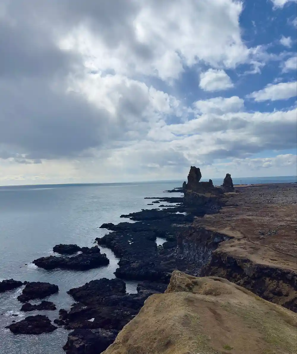
Londrangar is the pair of basalt plugs that stand above the shore, the hard core of a crater that has eroded away around them. The path along the cliff edge looks down on sea stacks, arches and dark water, and the grass on either side fills with small birds in the nesting season.
Bird life is the reason many travellers time their visit here. Puffins, guillemots, fulmars and kittiwakes nest at Londrangar from late spring to summer.[12] Keep back from the edge and give the nesting ledges room, and a long lens will do more for you than a closer step.
Snæfellsjökull National Park photos often come from exactly this kind of spot: black rock, white surf and a sky that changes between frames. A wide shot of the cliffs, then a longer lens for the birds, covers most of what you will want to bring home.
from US$145
The From Reykjavik: Snæfellsnes Peninsula Full-Day Tour is listed at 11 hours with pickup available and a live English-speaking guide.[3]
Djúpalónssandur and the Wreck-Strewn Shore
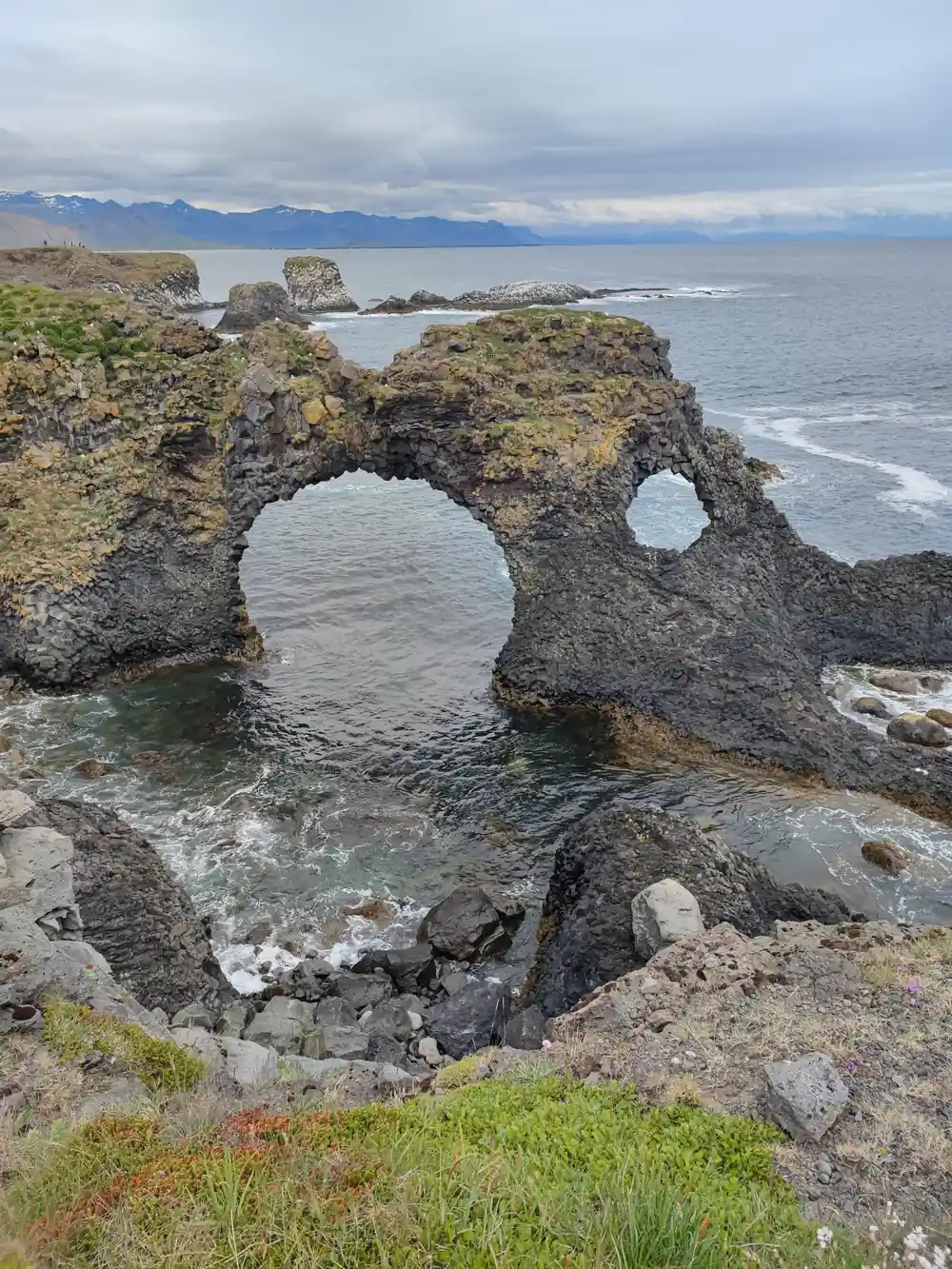
Djúpalónssandur is known for its four historic lifting stones, the remains of the British trawler Epine GY7 wrecked here in 1948, the natural rock arch Gatklettur, and its black pebble beach at the foot of Snæfellsjökull glacier.[13] You reach the beach on foot through a rough lava field, and the walk down gives you the view long before you feel the pebbles under your boots.
The lifting stones were once used to test whether a fisherman was strong enough for the boats, and it is hard to walk past them without trying one. Surf on this coast can run further up a black beach than it looks from the path, so watch the water while you take photographs.
Time your stop for low sun if you can: the pebbles turn glossy, the arch throws a long shadow, and the whole beach reads as one dark line against the surf. The path from the car park is short, which makes it an easy place to slow down before the drive back.
Arnarstapi, Búðir and the Saga Coast
Arnarstapi sits at the southern edge of the park, and the coastal path from the village is one of the easiest walks in the area. The Arnarstapi to Hellnar coastal walk is a small, easy hiking trail that starts very close to the Bardur statue and takes about 2 hours return along the coastline.[5] Basalt columns, rock arches and seabirds line the route, and the going is gentle underfoot.
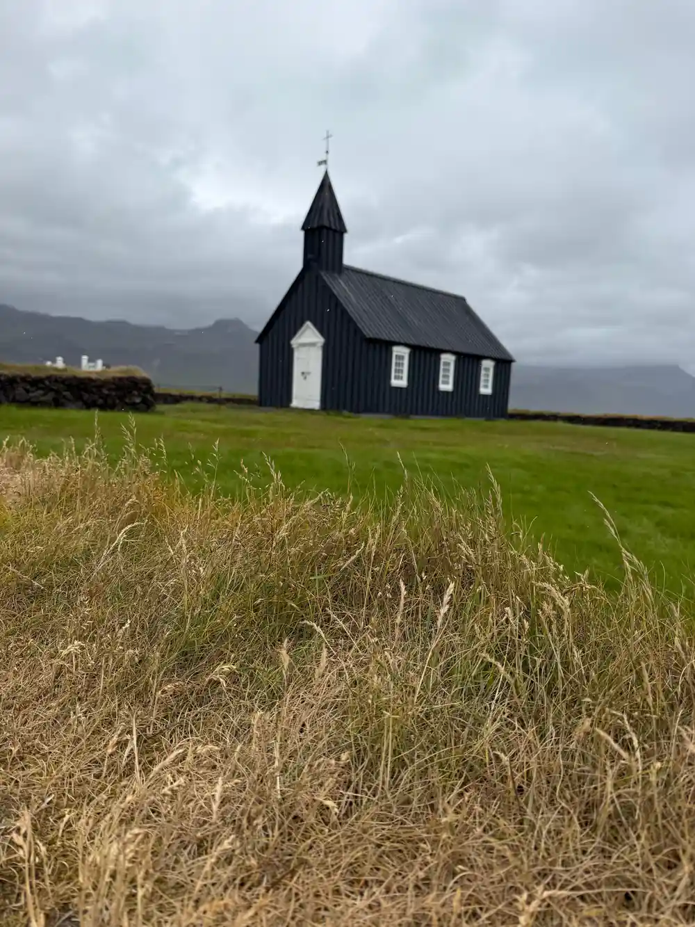
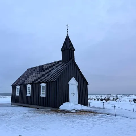
Búðir, further west along the south coast, is home to Búðakirkja, a small wooden church on the south side of the Snæfellsnes peninsula.[14] The dark timber stands alone against pale grass and lava, and the shore below it is a short walk from the churchyard.
The peninsula has its own saga figure as well. According to Bárðar Saga Snæfellsáss, Bárður Snæfellsás was the settler of the Snæfellsnes area and was half a troll and half a man, his father being half a titan and his mother human.[15] A statue of him stands in Arnarstapi, close to where the coastal walk begins.[5]
How Long to Spend at Snæfellsjökull National Park
A full day is the realistic answer if you are starting in Reykjavík, and a guided loop takes the driving out of your hands. The From Reykjavik: Snæfellsnes Peninsula Full-Day Tour is listed at 11 hours and from US$145, with pickup available and a live English-speaking guide.[3] The listing offers reserve now and pay later, and free cancellation up to 24 hours in advance for a full refund.[3]
If you would rather base yourself on the peninsula, the distances are manageable. Hotel Snæfellsnes sits in the middle of the peninsula, 32 km from Stykkishólmur, 38 km from Grundarfjörður, 57 km from Ólafsvík, 35 km from Búðir, 54 km from Arnarstapi and 58 km from Hellnar.[16] That makes two half days possible, with room for the extras that a single day trip tends to skip.
Those extras add up nicely. Whale watching on Snæfellsnes runs from Ólafsvík, and the Ólafsvík whale watching tour is listed at 3 hours from US$116.[17][18] Lýsulaugar has geothermal baths including two hot tubs, a large geothermal swimming pool and a cold tub.[19] On weather, conditions here are overall quite good throughout the year, but they can change quickly, so keep your plan flexible, especially in winter.[20]
Listed tour lengths on the peninsula
Duration in hours for each listed tour, taken from its own GetYourGuide page:[3][6][7][21]
From-prices per person in US dollars
From-prices per person in US dollars, taken from the tour listings cited here:[3][6][7][21][22]
When to go
Planning your park day
Choose your transport
A guided full-day tour handles the long drive and the loop. Driving yourself gives you freedom to linger at the stops you like best.
Book ahead for summer
Summer is the busiest window, so lock in your date early and look for listings that let you reserve now and pay later.
Pack for four seasons
Waterproof shell, warm mid-layer, gloves and grippy shoes. Coastal wind makes a mild day feel sharper than the forecast suggests.
Keep the plan flexible
Weather shifts fast on the peninsula. Do the headline stops first and let the smaller viewpoints move if the sky closes in.
Give wildlife space
Stay back from cliff edges and nesting ledges, and use a zoom rather than a closer step around birds and seals.
Loop the peninsula with a guide who knows the park
from US$146Reserve now & pay later