In a nutshell
- An easy trail starts very close to the Bardur statue in Arnarstapi and takes about 2 hours return along the coastline.[1]
- Djúpalónssandur is known for four historic lifting stones, the wreck of the Epine GY7, the rock arch Gatklettur and a black pebble beach.[2]
- Puffins, guillemots, fulmars and kittiwakes nest at Londrangar from late spring to summer.[3]
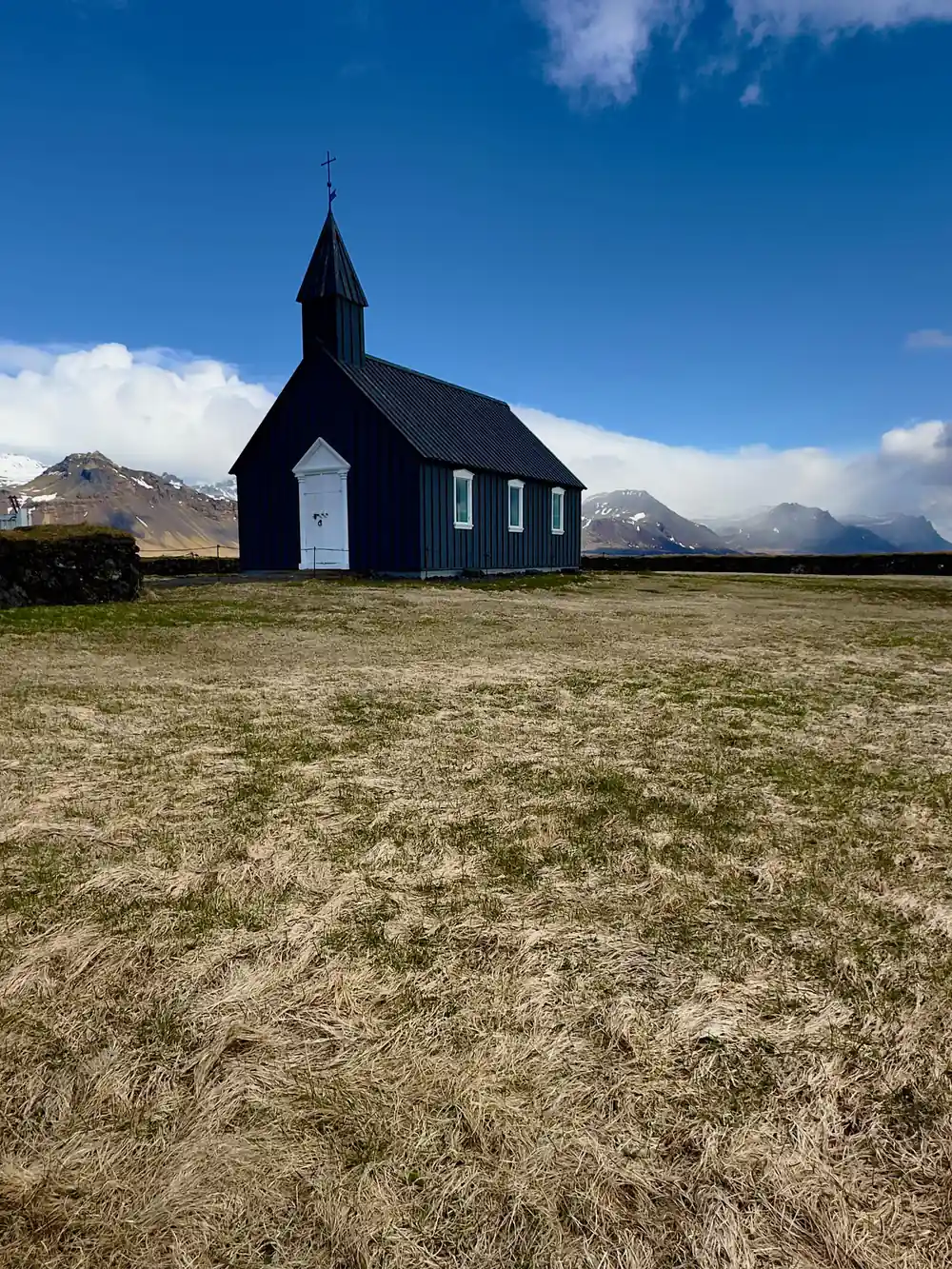
- Búðakirkja is a small wooden church on the south side of the Snæfellsnes Peninsula in Iceland.[4]
- The full-day tour from Reykjavik runs 11 hours with a live English-speaking guide, and you can cancel up to 24 hours in advance.[5]
- Top choice Snæfellsnes Full-Day Tour from US$145 Duration11 hours[5]Rating4.72 from 3,765 reviews[5]GuideEnglish[5]PickupCheck availability for pickup options[5]CancellationFull refund up to 24 hours in advance[5] Check availability
- Snaefellsnes Minibus Tour from US$161 Duration11 hours[6]Rating4.77 from 789 reviews[6]GuideEnglish[6]PickupCheck availability for details[6]CancellationFull refund up to 24 hours in advance[6] See this tour
- Snæfellsnes Small Group from US$138 Duration12 hours[7]Rating4.60 from 478 reviews[7]GuideEnglish[7]PickupCheck availability for details[7]CancellationFull refund up to 24 hours in advance[7] See this tour
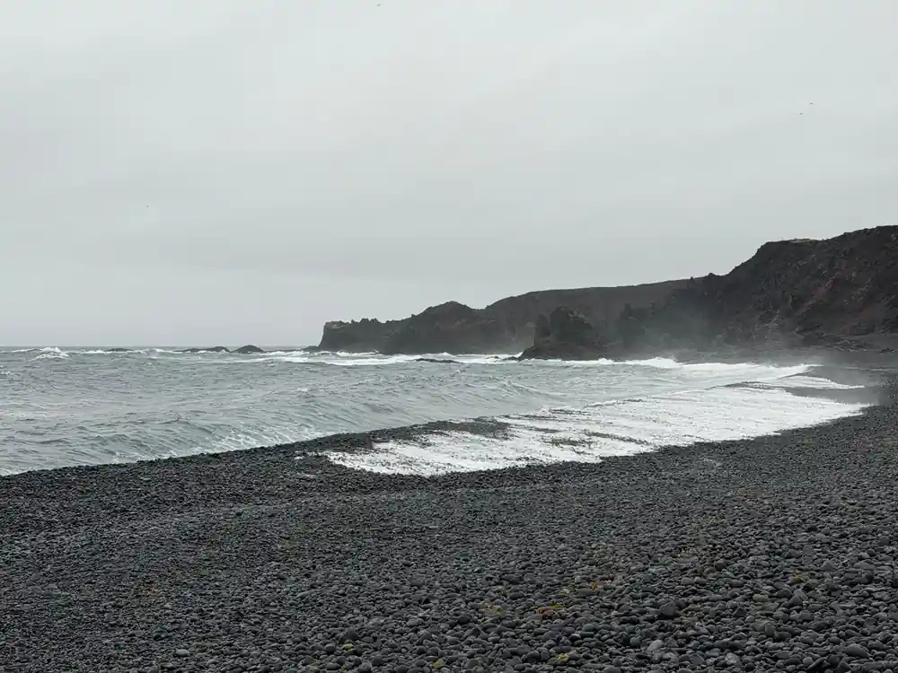
Djúpalónssandur is known for its four historic lifting stones, the remains of the British trawler Epine GY7 wrecked here in 1948, the natural rock arch Gatklettur, and its black pebble beach at the foot of Snæfellsjökull glacier.
Is the south coast of Snæfellsnes worth a full day?
Pre-departure
On the coast
- Pack layers, sunglasses and a windproof shell whatever the morning forecast says.
- Weather is overall quite good through the year but changes quickly.[8]
- Keep well back from the surf at Djúpalónssandur and never turn your back on the water.
- The Arnarstapi coastal path is an easy walk, about 2 hours return.[1]
Arnarstapi: Where Legend Meets Stone
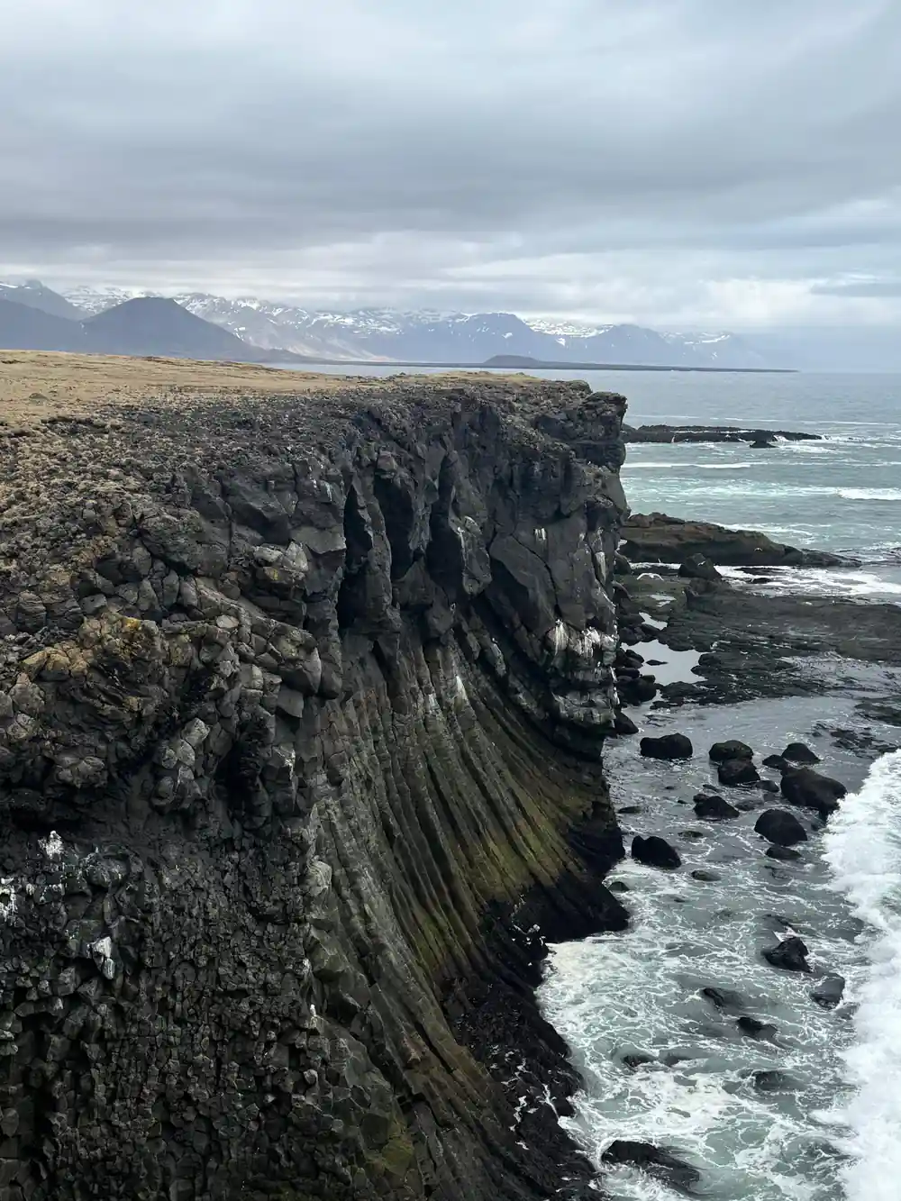
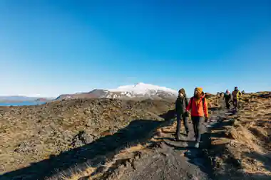
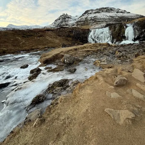
Arnarstapi is a small fishing hamlet on the south coast of the peninsula, and the coastal path that leaves from it is the walk most people remember afterwards. The trail starts very close to the Bardur statue in Arnarstapi and it is an easy walk, taking about 2 hours return along the coastline.[1] Along the way the lava shore shows off basalt columns and rock arches, with birds moving over the water the whole time. According to Bárðar Saga Snæfellsáss, Bárður Snæfellsás was the settler of the Snæfellsnes area and was half a troll and half a man, his father being half a titan and his mother human.[9]
The peninsula sits 136 km (85 mi) from Reykjavík, roughly a 2-hour drive via Route 1 and Route 54.[10] If Arnarstapi is one stop on a longer day out, give the coastal path real time rather than a quick photo stop, and turn back early if the wind picks up. Grippy shoes, a windproof layer and a dry bag for the camera are the practical kit here, because spray and loose gravel are part of the experience. The harbour, the statue and the cliffs all sit within a few minutes of each other.
Djúpalónssandur: Four Stones and Shipwreck Iron
Djúpalónssandur is known for its four historic lifting stones, the remains of the British trawler Epine GY7 wrecked here in 1948, the natural rock arch Gatklettur, and its black pebble beach at the foot of Snæfellsjökull glacier.[2] The walk down to the water runs through a rough field of lava, and the shore opens up suddenly, a curve of black pebbles with rusted iron scattered along it. This is the Snæfellsnes Peninsula Iceland black sand beach that turns up in photographs again and again, and it earns the attention.
The pebbles are loose and noisy underfoot, so the descent and the climb back take longer than they look. Surf on this stretch can be powerful, so keep well back from the water line and never turn your back on the sea. The lifting stones sit near the path and visitors still test themselves against them, though it is the story of the place that stays with you longer than the effort does.
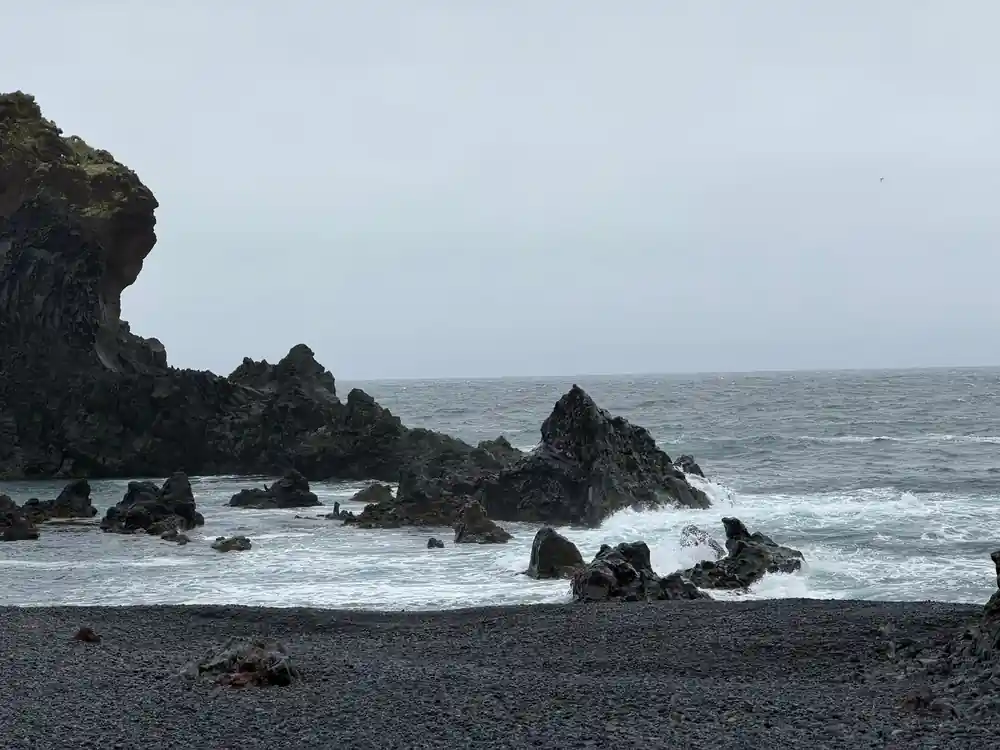
Black sand, basalt and cold water, with the glacier volcano standing behind it all.
Londrangar: Pinnacles and Nesting Cliffs
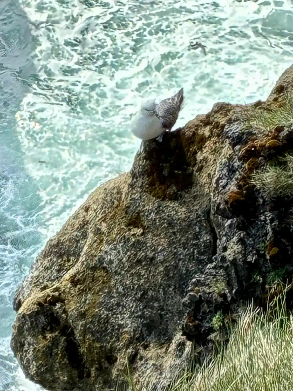
Londrangar rises out of the sea as sheer basalt pinnacles, the leftovers of a crater that the Atlantic has slowly taken apart. Puffins, guillemots, fulmars, and kittiwakes nest at Londrangar from late spring to summer.[3] In nesting season the cliffs are loud and busy, with birds wheeling out over the water and dropping back onto ledges that look far too narrow to hold them. A short path and a viewing area keep people at a respectful distance from the nests.
Behind the coast here stands Snæfellsjökull, the glacier-capped volcano that gives the peninsula its name. It is 1,446 meters high, and Snæfellsjökull National Park, which holds it, was established in 2001.[11] The peak shows up on clear days from surprising distances, and the light on it shifts all through a long Icelandic afternoon. Bring binoculars for the birds and keep a hand on your hat, because the wind on this open headland rarely stops.
Búðakirkja: The Black Church of the Shore
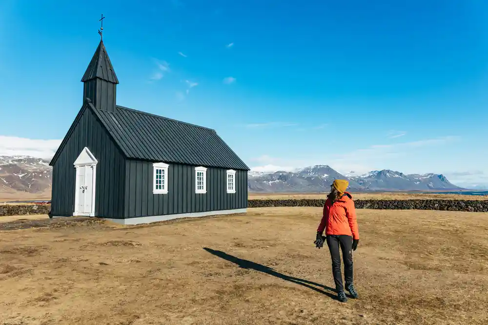
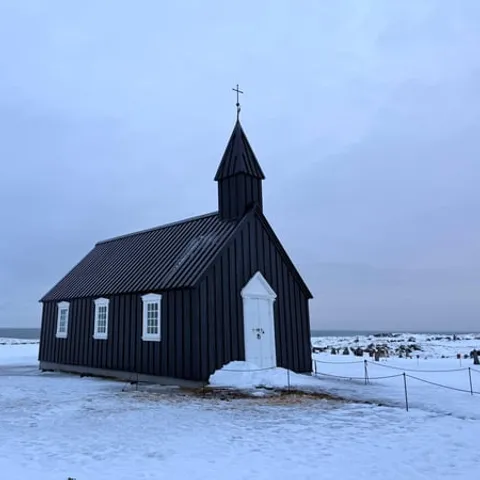
Búðakirkja is a small wooden church located on the south side of the Snæfellsnes Peninsula in Iceland.[4] It is tarred black with pale trim, standing alone in a field of lava and grass, and the Snaefellsnes Peninsula church draws photographers whatever the weather is doing. White doorframes, a low wall and a few gravestones are the only details around it, and the emptiness of the setting is most of the appeal.
The Snæfellsjökull view point at Búðir in Iceland is a short walk from the churchyard, out across the sand to the edge of the bay, where the glacier volcano sits on the far side of the water. This is a good place to slow down, eat a packed lunch and let the wind do its thing. The coast road continues towards Arnarstapi and the cliffs, so a stop here fits neatly into a half day of wandering between villages.
from US$145
Full-day Snæfellsnes Peninsula tour from Reykjavik, 11 hours with a live English-speaking guide.[5]
Ólafsvík and Grundarfjörður: Fishing Villages Built on the Sea
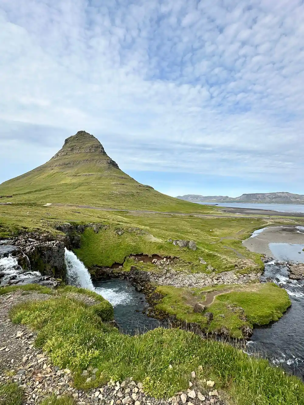
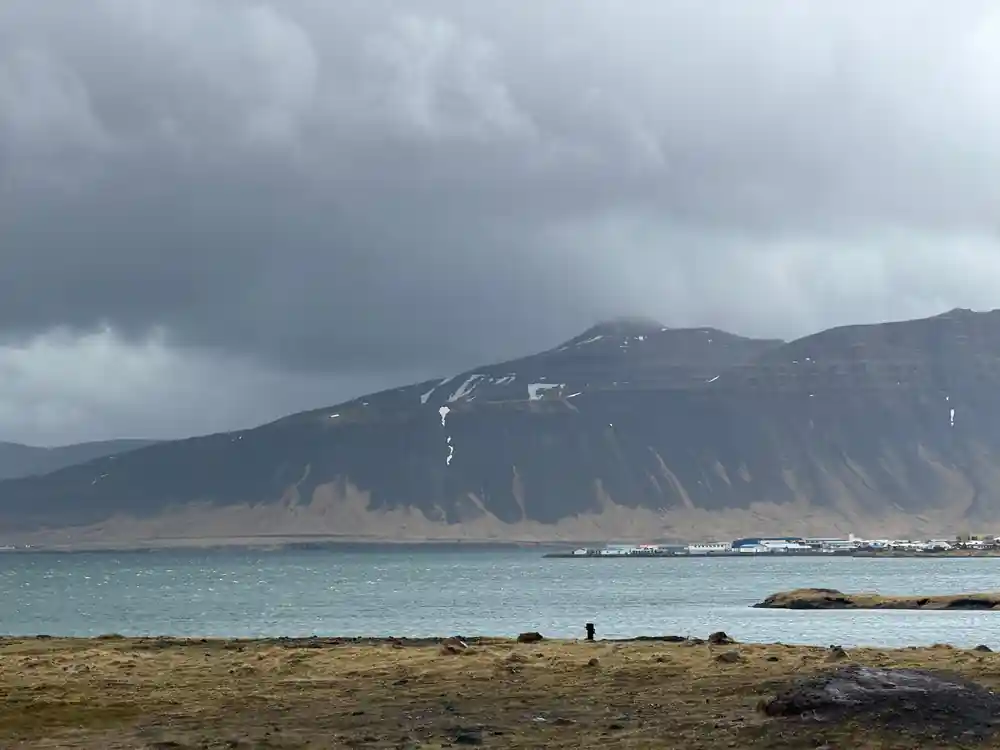
Ólafsvík and Grundarfjörður sit on the north side of the peninsula, working ports with fish factories, a few cafes and a strong sense of ordinary Icelandic life going on around visitors. Grundarfjörður looks across the water to Kirkjufell, a mountain that stands at a height of 463 meters (1,519 feet) and is one of the most photographed mountains in Iceland.[12] In Ólafsvík the whale watching boats head out into the bay: the whale watching tour on Snæfellsnes is run from Ólafsvík.[13]
Distances here look short on a map but the roads wind, so plan generously. Hotel Snæfellsnes is in the middle of the peninsula and is 32 km from Stykkishólmur, 38 km from Grundarfjörður, 57 km from Ólafsvík, 35 km from Búðir, 54 km from Arnarstapi and 58 km from Hellnar.[14] Fill the tank when you see a station, and keep a card handy for the smaller places. If you have time for one add-on, a kayak on the fjord below Kirkjufell puts you on the water looking up at the mountain instead of the other way round.
Ytri Tunga: Seals and Seasonal Gathering
Ytri Tunga is a sandy bay on the south coast, the pale end of a shoreline that is mostly lava, pebble and cliff. The Snaefellsnes Peninsula beaches all have their own character, and this one is softer underfoot and easier to walk. Seals haul out on the rocks and skerries offshore, lying in the sun in grey heaps, and they watch you as much as you watch them. Keep your distance, stay low and quiet if you want them to stay, and never come between a seal and the open sea.
The beach is simple to reach from the road, with a small parking area and a short walk over grass and stones to the sand. It is a good stop for families, for anyone carrying a long lens and for a leg stretch on the drive between Búðir and the northern villages. Bring waterproof shoes, because the sand is wet and the wind comes straight off the water, and leave time to simply stand and look at it.
Lighthouses and the Working Coast
The lighthouses on this peninsula are small, practical structures on headlands that take the full force of North Atlantic weather, and they belong to a coast that still works for a living. Fishing boats, drying racks, tractors and the smell of salt and diesel in the harbours are part of the picture. Driving the coast road between the villages is the best way to see this side of Snæfellsnes, with the sea never far from the windscreen and mountains across the water on clear days.
Weather here is overall quite good throughout the year, but it can change quickly, so a flexible travel plan is a good idea, especially in winter.[8] When the day ends cold, Lýsulaugar has geothermal baths including two hot tubs, a large geothermal swimming pool, and a cold tub.[15] If you would rather be on a horse than in a car, Stóri-Kambur offers horse riding tours that take riders into the heart of Snæfellsnes in West Iceland.[16]
Distances from a base in the middle of the peninsula
All distances are kilometres from Hotel Snæfellsnes, in the middle of the peninsula.[14]
What a Snæfellsnes day costs
US dollar from-prices for these GetYourGuide listings.[5][6][7][17]
When to walk this coast
Planning your coastal day
Book the full-day tour
Choose your date, check the starting time for it and reserve; you pay later and can cancel up to 24 hours ahead.[5]
Ride west from Reykjavik
The peninsula sits 136 km (85 mi) from Reykjavik, roughly a 2-hour drive via Route 1 and Route 54.[10]
Walk the Arnarstapi coast
From the Bardur statue the easy trail follows the shoreline and takes about 2 hours return.[1]
Look for seals and birds
Puffins and other seabirds nest at Londrangar from late spring to summer, with sea cliffs and a black pebble beach further along.[3]
Finish at the black church
Búðakirkja is a small wooden church on the south side of the peninsula, an easy last stop before the drive back.[4]
See the coast of legends on a full-day tour from Reykjavik
from US$146Reserve now & pay later